|
August 20, 2018. Scottish sea shanties played boisterously over Seamus’s van stereo as we careened through Rogers Pass toward Glacier National Park of Canada. We were three: Nick, me (Erik), and Seamus - the third leg of our trio being a good friend from Newfoundland. Our destination was the crown jewel of the park: Mount Sir Donald, a striking 3,284 m peak that passes by the window of most as they whiz by on the Trans Canada Highway. A monolithic Matterhorn-like mountain, it rises well above its neighbours and is listed in Roper and Steck’s 50 Classic Climbs of North America. Easily accessible from the park, its soaring Northwest Ridge route has a grade of 5.4 and calls out to novice and expert climbers alike. Check out the video and click the "Read More" link for the full trip report! Mine (Erik’s) and Seamus’s legs were next to useless after running the Squamish 50 mile ultramarathon just two days before. Sore and stiff, I had a piercing pain in the arch of my right foot that made me seriously concerned I had suffered a stress fracture. Meanwhile, Seamus was hobbling around like Captain Ahab, moaning about electrolyte balances in his legs and rubbing his thigh like it was a genie in a bottle. But driving into Rogers Pass, hurtling under the avalanche tunnels, with Silly Wizard’s rendition of Rambling Rover playing over the stereo, our mortal aches and pains dissolved like fog chased away by sunlight when the first glimpse of Sir Donald appeared in the distance. A boyish grin was glued to Seamus’s face. This was going to be his first ever multi-pitch climb. 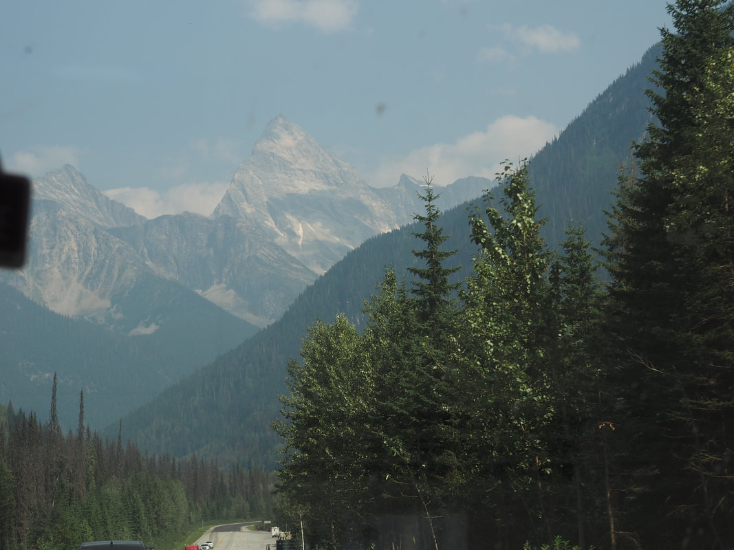 Our first view of Mount Sir Donald as we drove through Rogers Pass. We arrived in the park and paid the $45.10 fee for parking and backcountry camping permits for the night. The “Sir Donald Trail” leaves the parking lot and arrives at the Sir Donald-Uto col after 3.3 km and 1,008 m of elevation gain. The trail meanders at a modest grade for the first 300 m before promising gains in altitude begin. At one point it crosses a metal bridge that spans a creek of meltwater from the Vaux Glacier. This bridge is apparently removed in the autumn, but the creek should still be straightforward to cross. 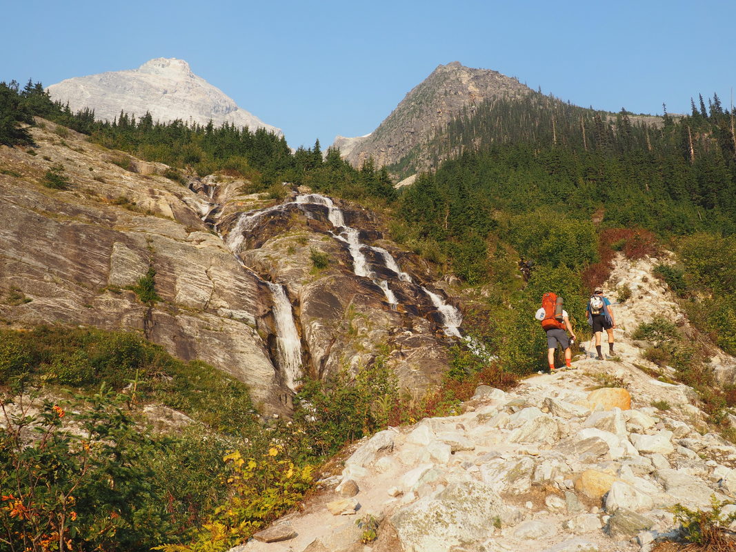 The trail to the Sir Donald-Uto col camp is 3.3 km long and gains 1,008 m. We each had approach shoes, harness, and helmet. For the descent we brought a 60m pull-cord. Nick and I expected that at 5.4, it would be a solo scramble all the way to the summit. Still, we were mindful of Seamus’s inexperience in climbing and so we brought a light rack consisting of just a few cams and a set of nuts in case we’d have to rope up and build anchors for belaying. If this were the case, we would use the pull-cord as a climbing rope. 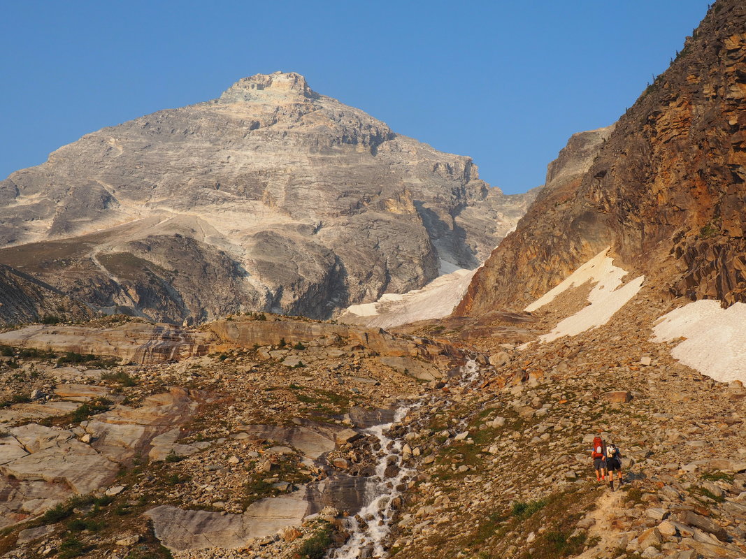 Spirits were lifting with every step in elevation towards Sir Donald. We arrived at the base of the Sir Donald-Uto col shortly before sunset, having made the hike in about 2 hours. Along the way, icy cold meltwater from the Vaux glacier afforded us an invigorating refreshment. We set to work immediately making camp. I fixed the lads a nice supper of couscous and sausage with dehydrated chanterelles I had picked, dried, and brought with me all the way from Newfoundland. We got to chatting with a pair of climbers from Quebec who had wisely decided to postpone their ascent because one of the two had forgotten his helmet in the parking lot below. Nick, Seamus, and I would have the ridge to ourselves the next day. 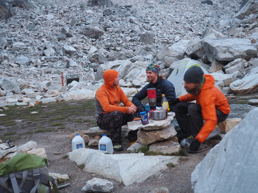 The lads have some dinner. 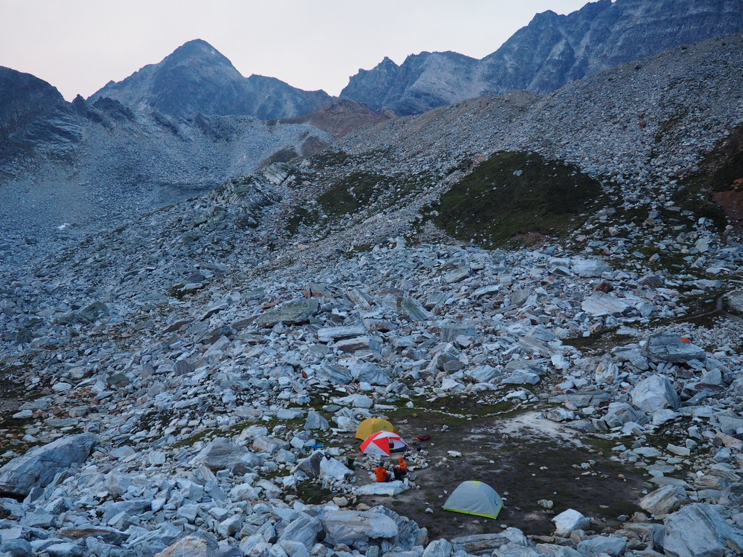 Our camp nestled below the Sir Donald-Uto col. The camp area is reminiscent of the Bugaboo's lovely Applebee Dome campground, only in miniature. It is a blissful alpine oasis nestled among mountains just above the tree line. There is room for probably ten tents. There is one bear locker and one backcountry toilet. That evening the temperature dipped down close to freezing as we munched happily on our delicious and warm supper. We had bought a colossal chocolate bar from The Great Canadian Superstore in Kamloops and we ate this in chunks and we were glad. The stars came out and in the darkening sky rising at a near perfect 45 degrees from the bottom of the col was the Northwest Ridge of Mt Sir Donald, patiently waiting. 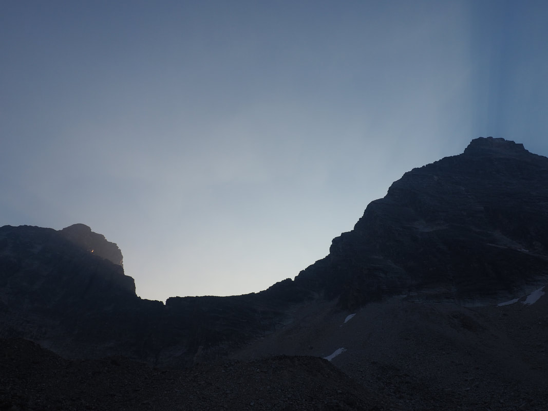 The suns rays shine between Uto Peak (left) and Mount Sir Donald (right), tracing the NW ridge in the sky. We awoke the next morning from a luxurious sleep. After a quick breakfast of instant coffee and oats with plenty of dried fruit, we each made our last visits to the toilet, packed up, and set off for the col. The time was 8 AM. Seamus and I noticed that our legs had recovered somewhat following the brisk hike the day before. We marched upwards feeling happy as the sun’s rays shone through the col.
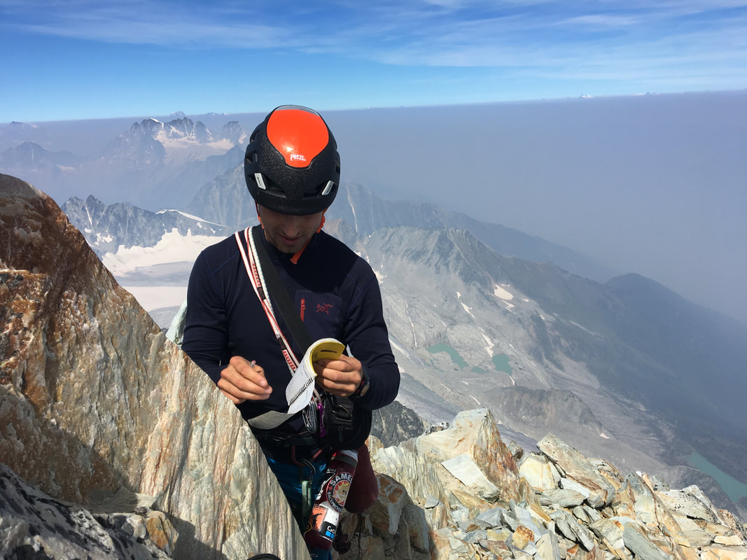
With a Clif bar each and a few excited words we set off for the ridge. The climbing was fun, varied, featured, and easy. It was also remarkably consistent and stayed on the ridge proper all the way to the summit. There were a few sections of exposed climbing where a few “moves” were necessary. But I would wager that even relatively conservative parties would feel compelled to put away the rope and enjoy the climbing unburdened. We reached the summit at exactly noon, making the whole ridge scramble in 4 hours of non-stop climbing. We exulted in the joy that comes from standing on a mountain peak, then snacked a bit and started talking about the descent. “Like the old Zen lunatics say, you always have to climb a mountain twice,” I told Seamus, quoting a line from The Dharma Bums. 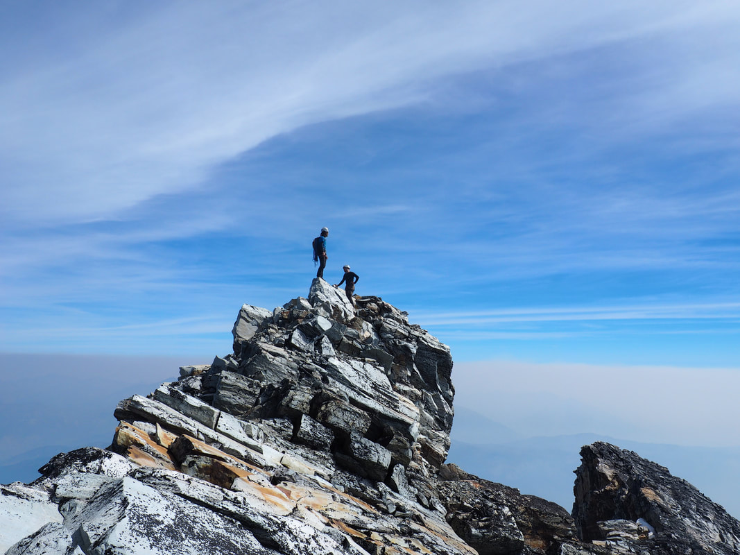 Erik and Seamus stand atop the summit of the 3,284 m Mount Sir Donald. The climb took 4 hours.
We opted for the Summit By-pass descent on the West Face. Based upon the descriptions we had read online, it was faster than downclimbing the ridge and straightforward to find. So we set off, and quickly realized that we were a bit lost. Caution should be taken when navigating the optimal route here - we clearly didn't pay close enough attention and paid the price in chossy and somewhat treacherous downclimbing. Soon enough, though, we spotted some cairns marking the way and met up with the West Face descent proper. It was chossy alright! But overall it was a straightforward traverse that bypassed a good portion of the ridge downclimbing. After all, the ridge is at enough of a low angle and so featured as to discourage rappelling. Before long we met up with the Northwest ridge and spotted the first rappel stations. The rappel stations were bolted by Parks Canada and sport reflective tape to make them visible by headlamp for those parties who find themselves benighted. (Better to move fast in daylight than to test their efficacy, I say.) The rappel topo is found here and is very well described. 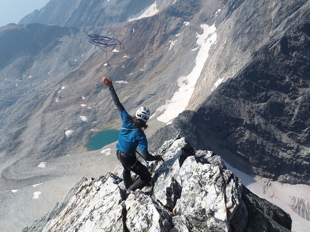 Erik casts the first rappel after traversing the West Face descent route. 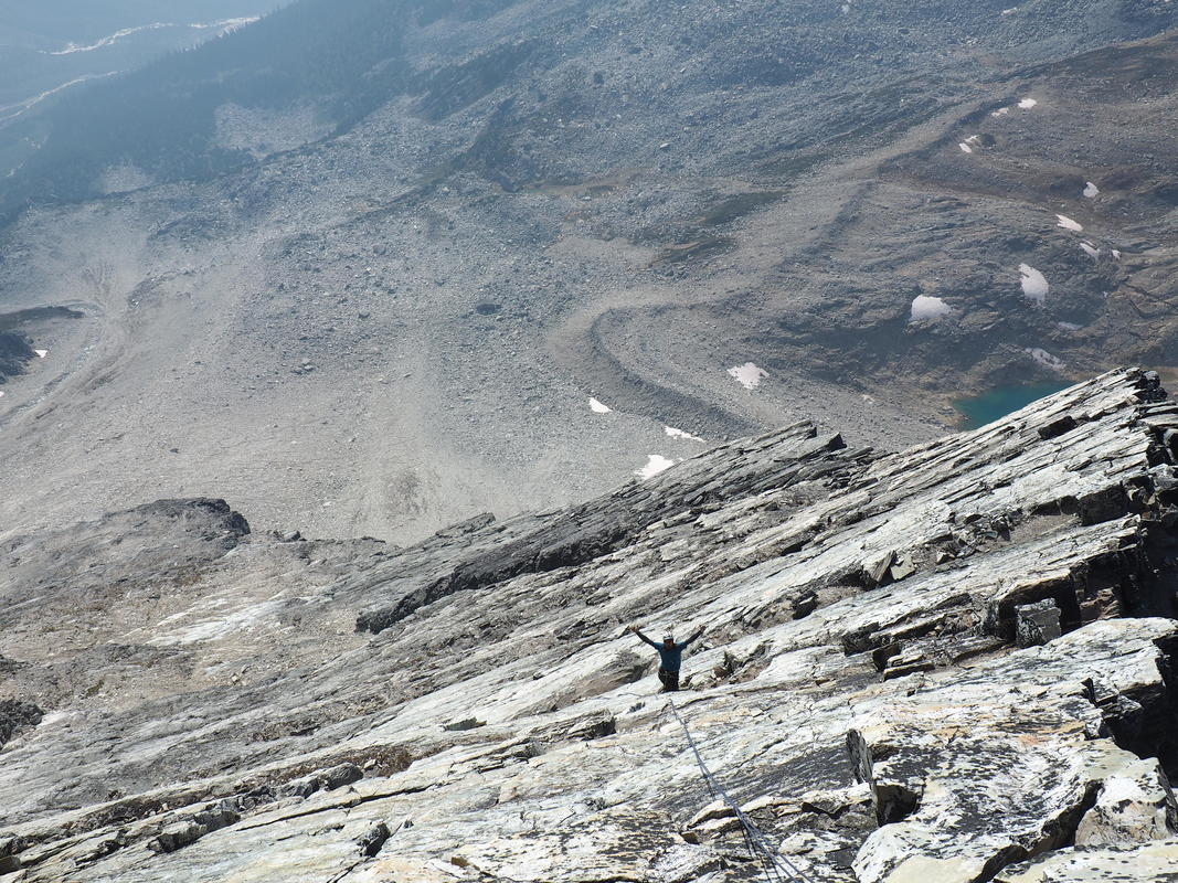 After four rappels along the ridge, the remaining six are along the low angle W face. Having completed the last rappel, we set off at a run toward camp, literally frolicking down the scree slope. Nick and Seamus seemed to sprint over the boulders like goats. When I arrived at camp they had their shirts off and were digging into the remaining dried fruits and nuts. We high-fived and started telling the recent arrivees to camp about our sojourn on Sir Donald. Our descent time was 5.5 hours. At 9.5 hours overall, it was certainly no speed record, but it was a memorable day in the mountains and a excellent first alpine adventure for Seamus. After a dinner that featured curried dehydrated sweet potatoes and black pepper sausage, we packed away our tents and hit the trailhead for the parking lot. More than once, we peaked over our shoulders for a last look at Sir Donald. We reached the parking lot just before sunset, having descended in about 1 hr 45 minutes. Our stock of bananas and peanut butter took a hit as we snacked by headlamp and chatted happily about the day’s events. As night settled, we returned to the Trans Canada highway bound for our next adventure. Our destination? Bugaboo Provincial Park. 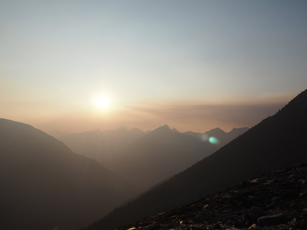 The suns sets on our Mount Sir Donald adventure.
2 Comments
Marie wadden
10/27/2018 03:42:37 pm
Nice video production, Erik, and great write up on the trip. Can't wait to read about the Bugaboos climb.
thomas
1/22/2020 12:01:25 pm
omg I need to start reading these blog posts I am so out-of-the-loop Leave a Reply. |
Categories
All
AuthorsWe are Daniel, David, Nick & Erik. EMAIL UPDATESKeep up to date with our adventures! Subscribe below to get an email for each new blog post.
Archives
October 2020
|
 RSS Feed
